|
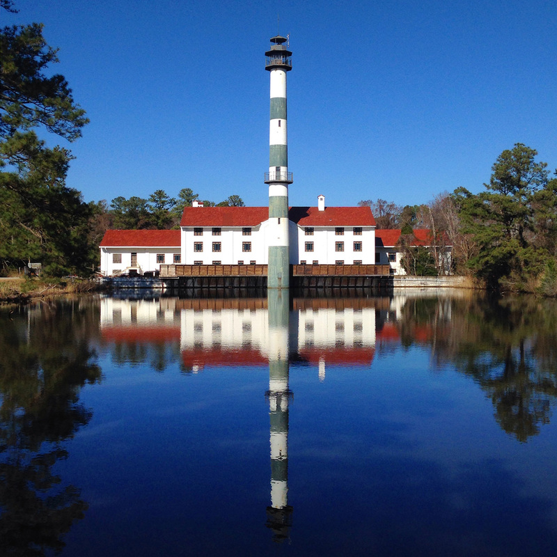
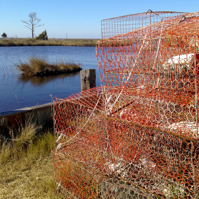
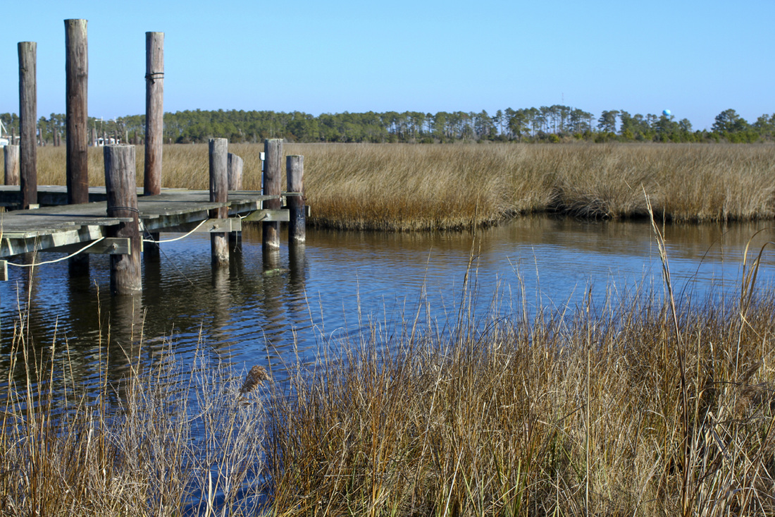
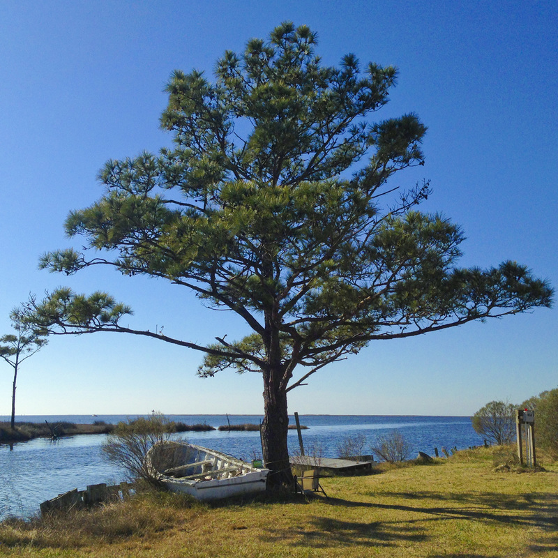
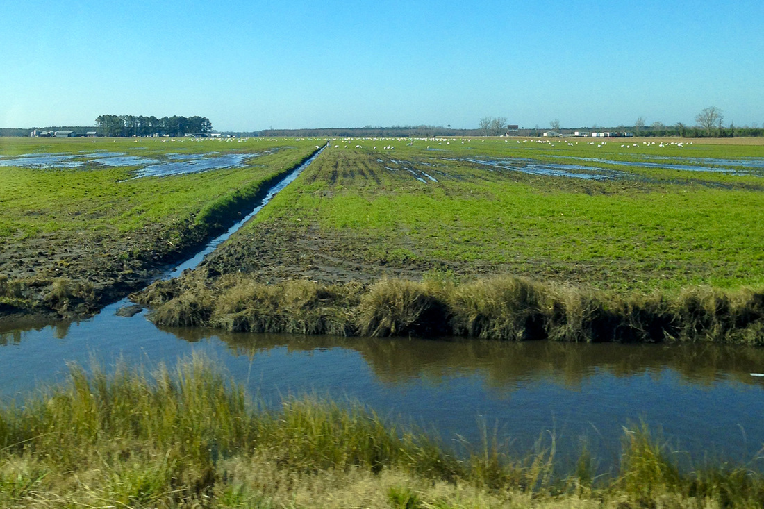
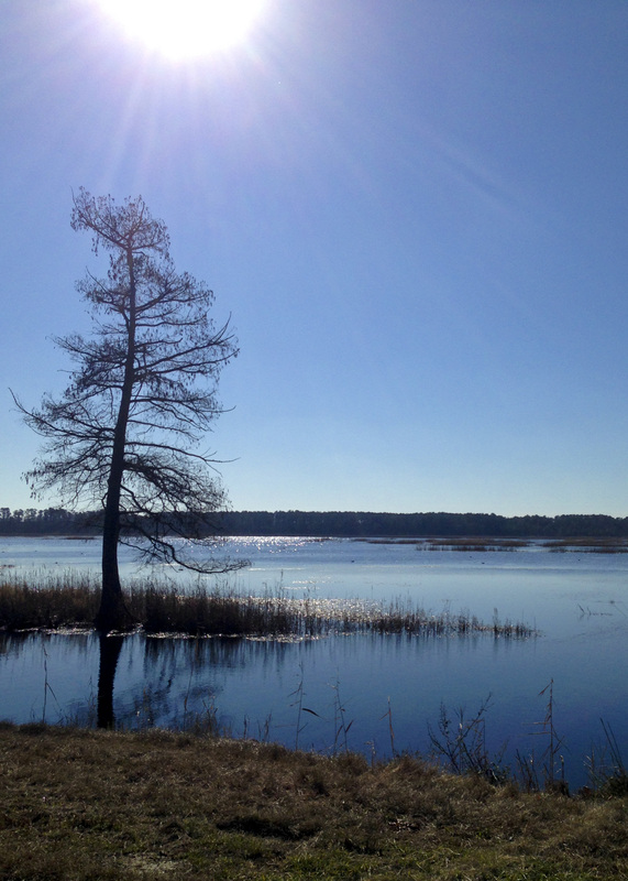
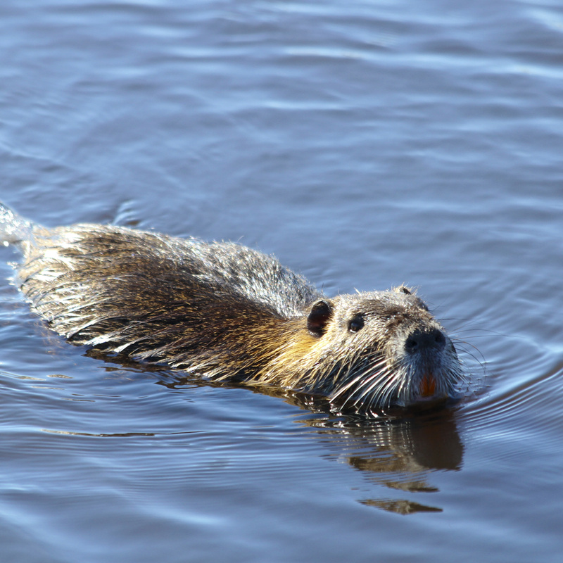
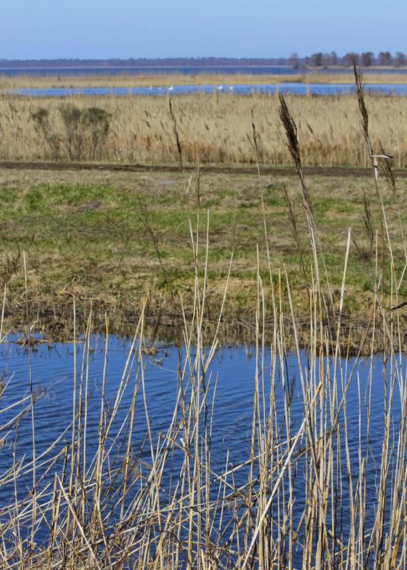
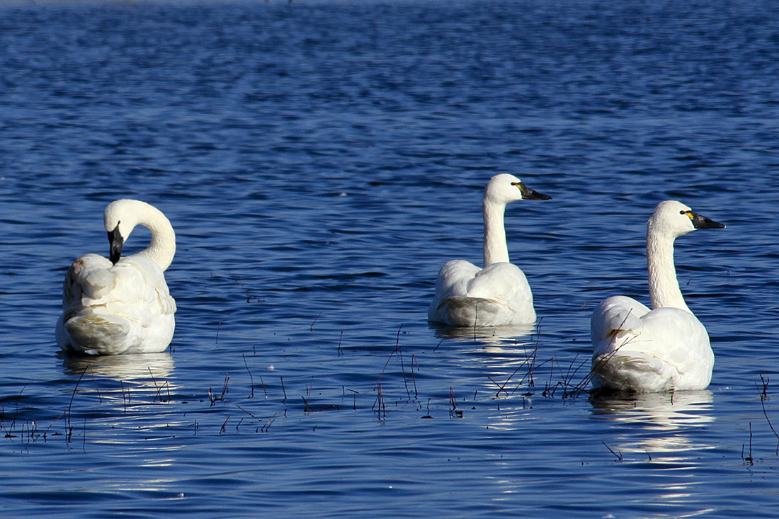
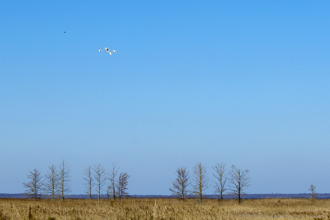
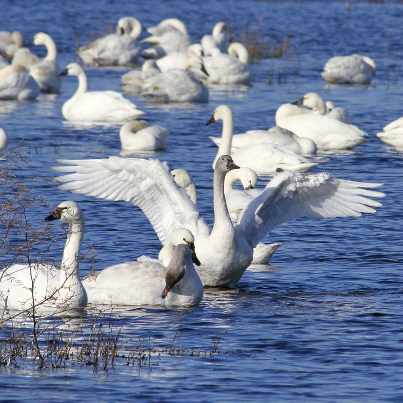
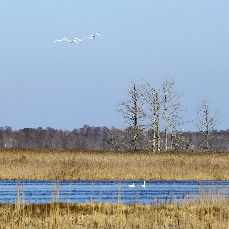
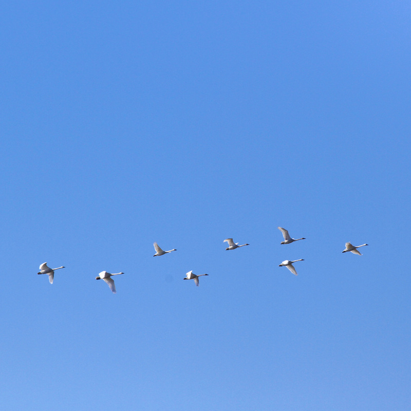
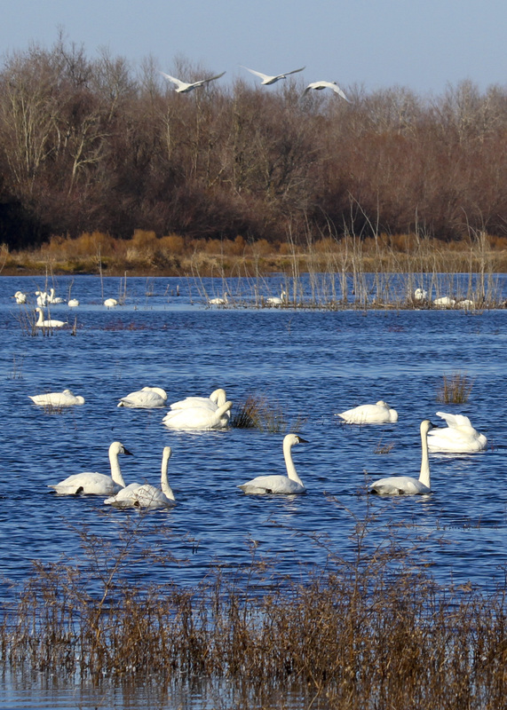
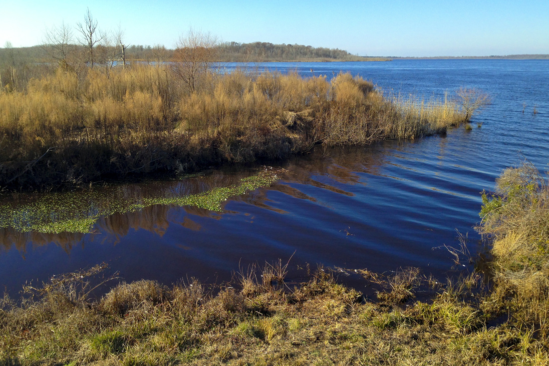
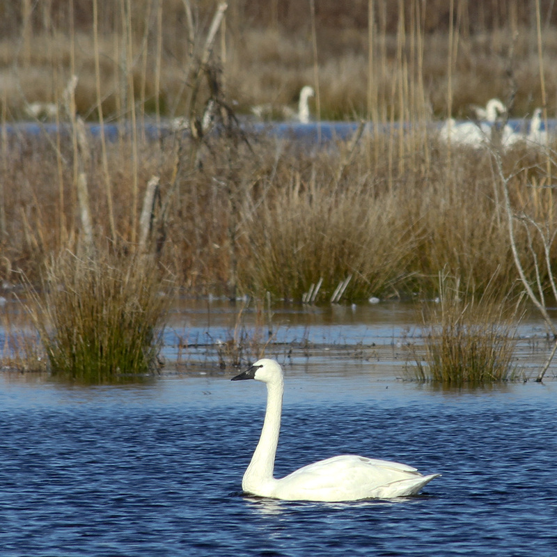
When we're planning outdoor adventures in North Carolina, we tend to think about the beach and mountains. But, oh my. We've been missing out on something else that's been just under our noses this whole time. The Albemarle-Pamlico Peninsula is the piece of land that juts out toward the Outer Banks, bordered by the Albemarle Sound to the north and the Pamlico Sound to the south. It consists mostly of pocosin marshlands and is divided between soggy farmland and several wildlife refuges. We drive through the northern edges of Pocosin Lakes National Wildlife Refuge and Alligator River National Wildlife Refuge on our way to the Outer Banks every summer, but had only stopped a few times at the visitor center at Pocosin Lakes to stretch our legs along its boardwalk. Then Jeff and I read "The Secret World of Red Wolves" and got sort of obsessed with the idea of exploring this area. The peninsula is the only place in the world where red wolves live in the wild; they became functionally extinct and were reintroduced here through a captive breeding program. It also sits along the Atlantic Flyway and hosts hundreds of thousands of birds that migrate south for the winter in some of the state's largest natural lakes, called Carolina bays. And it has, depending on the source, the highest concentration of black bears either on the East Coast or in the Southeast. Plus the landscape is amazing and unique. There aren’t really places to eat or stay on the peninsula, so we decided to pack a cooler and take a long day trip. Above: The Mattamuskeet Lodge. This structure was originally a pumping station, then a hunting lodge and now it's uninhabitable but listed on the National Register of Historic Places. If the state can ever find enough money, they may convert it back to a lodge. Below: First we stopped in the old fishing village of Swan Quarter (where you can catch a ferry to Ocracoke), poked around the harbor and made friends with a group of cheerful 10-year-olds who surrounded us and asked, "Are y'all from out of town?!" (These photos are a mix of iPhone and Canon 7D images.) This is what all the farmland on the peninsula looks like: super soggy and carved with drainage canals. Those white dots in the background are tundra swans. We made several stops for walks and photos at Lake Mattamuskeet National Wildlife Refuge. This place is so lovely. The entire lake is no more than "a swan's neck" deep—best expression ever—though it's 14 miles long and 5 miles wide. We were thrilled to watch this beaver swimming around right next to us...until it climbed up on the bank...without a beaver tail. It turns out it's actually a nutria, or river rat, which is an invasive species of rodent from South America. Nora kept trying to drag me over to pat it. Umm, I think I'll stay clear of those giant orange teeth, thank you. Tundra swans in the distance in one of the many canals around the lake. Tundra swans swimming in Pungo Lake at Pocosin Lakes National Wildlife Refuge. Swans over Lake Mattamuskeet. Pungo Lake. Swans above, swans below. Lake Mattamuskeet. Pungo Lake.
1 Comment
Kirsten
1/21/2015 02:53:58 am
Beautiful pictures, friend!
Reply
Leave a Reply. |
My new book is out! Click to learn more about it.Hello thereI'm Julia Soplop, writer and photographer. I believe there is something profound in bearing witness to moments of joy and pain in others’ lives. My husband, three girls and I live outside of Chapel Hill, NC. You can read more about me here.
Snag my new photo curriculum for kids!Categories
All
Popular posts |

